Integrated Marine Survey &

Technology driven delivery across coastal and offshore environments.

Our approach

Bridging the gap between raw data and the real world.

We challenge conventional approaches in marine survey and subsea inspection by combining leading-edge robotic platforms and sensors with advanced software products — driving efficiency, transparency, and faster turnaround from field data collection to final reporting.

What we do

Six disciplines. One integrated team.

From metocean monitoring to digital twins, our service lines are built around in-house technology and a relentless focus on data quality and turnaround.

01 — Metocean

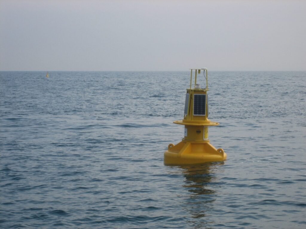
Metocean and Environmental

We deliver marine environmental monitoring programs including water quality monitoring, oceanographic measurement, water sampling, sediment sampling, benthic habitat mapping and environmental baseline studies. These services support approvals, compliance, impact assessment, construction monitoring and long-term environmental management.

02 — Acoustics

Subsea Acoustic Monitoring and

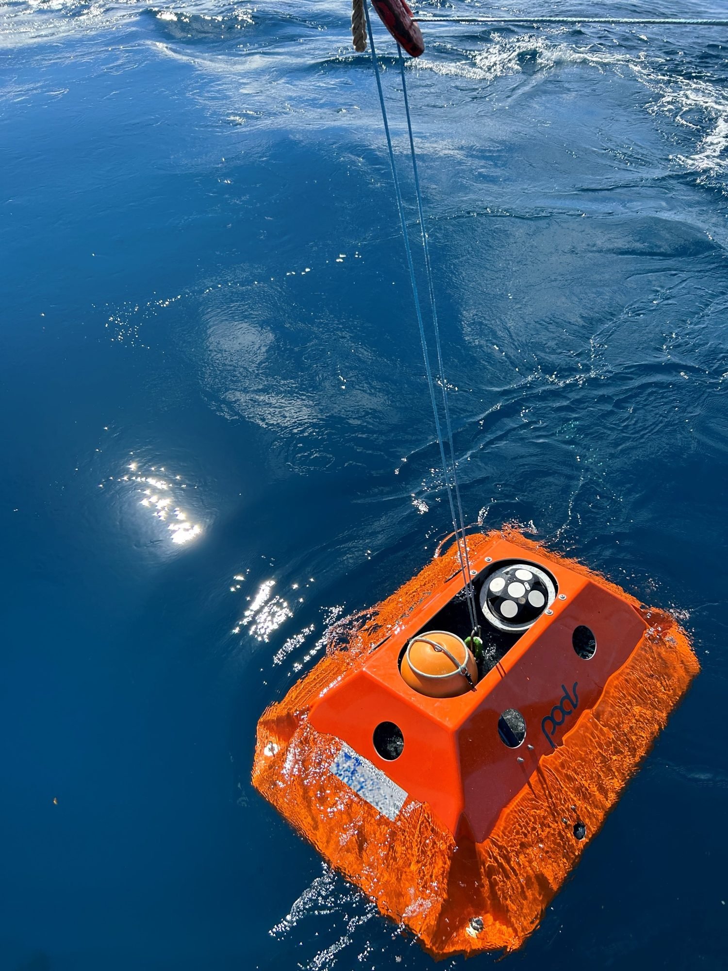
We provide fixed-station and dynamic passive acoustic monitoring, underwater noise assessments, vessel acoustic signature measurements and acoustic data analysis. Our work supports baseline soundscape characterisation, vessel and construction noise assessment, marine fauna studies and regulator-ready underwater noise reporting.

03 — Marine Fauna

Marine Fauna Monitoring and

We support marine fauna observation, passive acoustic monitoring for vocalising fauna, HD and infrared sea-surface surveillance, and field-based mitigation programs. These services are designed to assist with environmental approvals, construction monitoring, operational risk management and marine fauna protection requirements.

04 — Geophysical

Hydrographic, Geophysical and Topographic

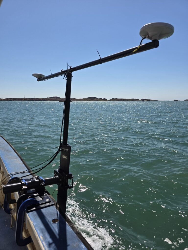
We undertake shallow-water hydrographic survey, side-scan sonar survey, sub-bottom profiling, search and recovery support, and coastal topographic survey. These services support engineering design, dredging, asset management, seabed characterisation, coastal infrastructure projects and post-event condition assessment.

05 — Inspection

Structural Inspection and Asset

We provide inspection services for port infrastructure, vessel hulls, tanks, pipelines, cables and other marine assets. We use a combination of vessel-based systems, ROVs, UAVs, imaging systems and specialist sensors to support asset condition assessment, maintenance planning and integrity management.

06 — Data Engineering

Data Engineering and System

We develop data portals, remote reporting dashboards, digital twins, automated QA/QC workflows, machine-learning-assisted data processing tools and customised hardware or software systems. This capability allows us to improve the speed, consistency and transparency of marine data delivery.

By the numbers

Field-ready,

A snapshot of how we work — disciplines delivered, operating record, and an unbroken safety performance.

6

Service lines

26

Months of operations

34

Scopes delivered

0

Lost time incidents

Recent work

Selected projects.

Western Australia, Australia
November 2023 – June 2024
GAIA Marine supported a major maritime technology familiarisation program in Western Australia, helping deliver practical exposure to uncrewed underwater systems, mini-ROV operations, metocean instrumentation and subsea acoustic technologies for defence personnel.
Victoria, Australia
June 2025
GAIA Marine delivered an offshore environmental baseline sampling campaign in Victoria, collecting sediment, water-column and benthic visual data to support future offshore energy development planning and environmental assessment.
Pilbara, Western Australia
November 2025
GAIA Marine completed a high-level benthic habitat assessment in the Pilbara, using drop-camera imagery, georeferenced site records and a standardised habitat classification framework to support port maintenance and planning activities.
Victoria, Australia
August 2025
Following the successful summer baseline campaign, GAIA Marine returned in winter to complete an expanded benthic habitat survey, delivering repeatable towed-camera acquisition, georeferenced imagery and high-resolution metadata across a revised marine infrastructure survey area.
Victoria, Australia
February 2025
GAIA Marine completed the initial summer benthic habitat survey for proposed marine energy infrastructure in Victoria, establishing a georeferenced seabed imagery and metadata baseline to support environmental approvals and future survey planning.
Pilbara, Western Australia
May–July 2024
GAIA Marine supported an offshore vessel acoustic signature assessment in Western Australia, measuring underwater radiated noise under controlled operating conditions to support vessel noise management, environmental assessment and alignment with international acoustic standards.

Insight

News & updates.

Engage

Have a project in mind?

Get in touch, we will be happy to work with you to design the best solution specifically for your project.